
TL;DR
A July 1, 2026 ISR Briefing analysis says wide-area motion imagery can watch and archive movement across city-sized areas, giving analysts a forensic rewind of events. The report says the technology’s value depends on AI processing, while its limits include weather, airspace access and civil-liberties oversight.
A July 1, 2026 ISR Briefing analysis says Wide-Area Motion Imagery can monitor movement across several square kilometers at once and archive it for later review, a capability that matters for military and security operations but also raises privacy and oversight concerns.
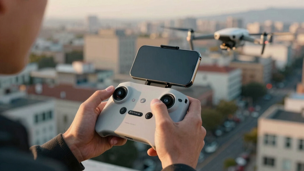
The analysis describes WAMI as a form of persistent aerial surveillance that differs from conventional full-motion video. Instead of following one vehicle or rooftop through a narrow camera view, a WAMI payload combines camera feeds into a large composite image that can show many movers across a city-sized frame.
According to the source material, systems such as DARPA’s ARGUS-IS used 368 five-megapixel cameras to produce a roughly 1.8-gigapixel image. From about 17,500 feet, the cited resolution was about 13 centimeters per pixel near the center of the image.
The confirmed technical process described in the analysis is a pipeline: capture the imagery, stabilize it against platform movement, detect and track movers, then archive the data so analysts can review an event backward in time. The article says the data volume is too large for human teams to watch live or for all raw imagery to be easily downlinked, making close-to-sensor AI a practical requirement rather than an optional add-on.
The eye over the city: how Wide-Area Motion Imagery works — and where it goes blind
A normal drone sees through a soda straw. WAMI watches an entire city at once, tracks every mover, and records it all for forensic rewind. Immense reach — with hard limits that make radar and AI its necessary partners.
- City-scale motion, fine detail
- Forensic rewind
- Cloud / smoke / dark degrade it
- Needs a platform loitering overhead
sensing
+ AI
- Sees through cloud & total dark
- Tasked over denied airspace
- Persistent, wide-area from orbit
- Sovereign · on-prem · air-gap
The same archive that traces a bomber to a safe house can trace anyone home — retroactively, without prior suspicion. Baltimore’s secret 2016 deployment led to a 2021 federal ruling that persistent aerial tracking violated the Fourth Amendment. The security value is real; so is the mass-surveillance risk. Who owns the sensor, the archive, and the AI is the accountability question.
WAMI’s power is the archive and the AI reading it; its weakness is weather, airspace, and oversight. The mature posture isn’t optical-vs-radar or capability-vs-liberty — it’s layered sensing (optical WAMI + all-weather SAR), AI-enabled exploitation, and sovereign, auditable control of the whole chain. WAMI shows what a persistent eye can do with clear skies and owned airspace; for the cloud, the night, and the denied area, the radar layer is where the resilient coverage lives.
City Surveillance Meets Legal Scrutiny
The policy issue is the same feature that gives WAMI its security value: the recorded archive. The analysis says investigators can use that archive to trace a suspect vehicle from an incident scene back to an origin point, but the same method can also trace ordinary people retroactively without prior suspicion.
That concern has already reached federal court. The source cites Baltimore’s 2016 aerial surveillance program, which was later reviewed by the U.S. Court of Appeals for the Fourth Circuit. In 2021, the court ruled that the city’s persistent aerial tracking program violated the Fourth Amendment, a decision that continues to shape debate over city-scale surveillance.
For readers, the issue is not only whether WAMI works. It is who controls the sensor, who holds the archive, who runs the AI analysis, and what rules limit access. The analysis argues that governance, auditability and ownership are central questions, especially when surveillance data can be searched after the fact.
high resolution drone camera
As an affiliate, we earn on qualifying purchases.
As an affiliate, we earn on qualifying purchases.
From Drone View To City Frame
The source contrasts WAMI with conventional full-motion video, which usually follows a narrow field of view. It attributes to BAE Systems the description of WAMI as an airborne optical ISR system that fuses sensors, cameras and processors into a single system that can detect and track movement across a broad area.
The analysis also cites RUSI for the point that WAMI’s coverage area is far larger than ordinary full-motion video and that it provides a real-time forensic capability other wide-area sensors may lack. That forensic function is what makes the system useful after an attack, border incident or other event where the key question is where a person or vehicle came from.
The report says WAMI’s weaknesses are also clear: clouds, smoke, darkness and denied airspace can reduce or block optical collection. It argues that radar-based sensing, including synthetic aperture radar, can fill some gaps because radar can operate through cloud and darkness and may be tasked from space or other platforms.
“A normal drone sees through a soda straw. WAMI watches an entire city at once, tracks every mover, and records it all for forensic rewind.”
— ISR Briefing AI Dispatch
aerial surveillance camera system
As an affiliate, we earn on qualifying purchases.
As an affiliate, we earn on qualifying purchases.
Rules Still Lag The Sensor
The analysis does not establish how widely WAMI is currently deployed, which agencies are using comparable systems now, or what retention rules apply across different jurisdictions. It also does not provide an independent benchmark for every AI system that might process wide-area imagery.
It remains unclear how future courts will treat newer systems that combine optical WAMI, radar sensing and automated analytics. The legal outcome may depend on facts such as duration of surveillance, data retention, search procedures, warrant rules and whether the system is used in military, border, police or emergency settings.
wide-area motion imagery drone
As an affiliate, we earn on qualifying purchases.
As an affiliate, we earn on qualifying purchases.
Oversight Moves To The Archive
The next policy fight is likely to center on the data chain: collection, storage, AI processing, access logs and deletion rules. The source argues that a mature approach would combine layered sensing with auditable control, rather than treating the debate as a simple choice between capability and civil liberties.
For agencies and vendors, the coming test will be whether they can document lawful use, limit unnecessary retention and prove that AI-assisted searches are governed by enforceable rules. For the public, the core question is whether surveillance systems built for wide-area security can be used without creating a permanent, searchable record of everyday movement.
AI-powered security camera
As an affiliate, we earn on qualifying purchases.
As an affiliate, we earn on qualifying purchases.
Key Questions
What is Wide-Area Motion Imagery?
Wide-Area Motion Imagery, or WAMI, is an airborne surveillance method that captures a large area in one composite image and tracks movement across it over time.
How is WAMI different from a normal drone camera?
A normal drone camera usually watches a narrow field of view. WAMI can monitor many movers across a city-sized area and store the imagery for later review.
Why does WAMI need AI?
The source says WAMI produces too much data for analysts to watch live. AI processing is used to detect, track and organize movement across the large imagery stream.
What are WAMI’s main limits?
The analysis says optical WAMI can be limited by weather, smoke, darkness and the need for a platform with access to the airspace. Radar systems may cover some of those gaps.
Why is WAMI legally sensitive?
Because archived WAMI footage can let analysts reconstruct a person’s movements after the fact. A 2021 Fourth Circuit ruling involving Baltimore found persistent aerial tracking violated the Fourth Amendment.
Source: Thorsten Meyer AI